Geodesy · 3D Scanning · BIM Modeling
Geodezija · 3D Skeniranje · BIM Modeliranje
Geodäsie · 3D-Scanning · BIM-Modellierung

From the Real World
Into Precise Digital Models

Iz Stvarnog Svijeta
U Precizne Digitalne Modele

Aus der realen Welt
In präzise digitale Modelle

We capture existing structures with high-accuracy 3D laser scanning and deliver professional BIM models for architecture, construction, and infrastructure projects.

Snimamo postojeće objekte visokopreciznim 3D laserskim skeniranjem i isporučujemo profesionalne BIM modele za arhitektonske, građevinske i infrastrukturne projekte.

Wir erfassen bestehende Gebäude mit hochgenauem 3D-Laserscanning und liefern professionelle BIM-Modelle für Architektur-, Bau- und Infrastrukturprojekte.

±2mm
Scan Accuracy
Preciznost Skeniranja
Scan-Genauigkeit
LOD 400
BIM Detail Level
Nivo Detalja BIM
BIM-Detailgrad
IFC
Open Standard Output
Otvoreni Format Izlaza
Offenes Ausgabeformat
300+
Projects Completed
Završenih Projekata
Abgeschlossene Projekte
Scroll Skroluj Scrollen

End-to-End Digital Surveying

Kompletno Digitalno Geodetsko Snimanje

Digitale Vermessung von A bis Z

From site capture to deliverable-ready models — we handle the full workflow for buildings, industrial facilities, and civil infrastructure.

Od snimanja terena do gotovih modela — pokrivamo cijeli radni tok za zgrade, industrijska postrojenja i civilnu infrastrukturu.

Von der Geländeaufnahme bis zum fertigen Modell — wir decken den gesamten Arbeitsablauf für Gebäude, Industrieanlagen und Infrastruktur ab.

3D Laser Scanning

3D Lasersko Skeniranje

High-density point cloud capture of existing structures using professional-grade terrestrial and mobile LiDAR systems. Accuracy to ±2mm.

Snimanje gustih oblaka tačaka postojećih objekata profesionalnim terestričkim i mobilnim LiDAR sistemima. Preciznost do ±2mm.

3D-Laserscanning

Hochdichte Punktwolkenerfassung bestehender Gebäude mit professionellen terrestrischen LiDAR-Systemen. Genauigkeit bis ±2mm.

BIM Modeling (As-Built)

BIM Modeliranje (As-Built)

Converting point cloud data into accurate Revit, ArchiCAD, or IFC models reflecting the true as-built state of your structure — at any LOD.

Pretvaranje oblaka tačaka u precizne Revit, ArchiCAD ili IFC modele koji odražavaju stvarno stanje objekta — na bilo kom LOD nivou.

BIM-Modellierung (As-Built)

Umwandlung von Punktwolken in präzise Revit-, ArchiCAD- oder IFC-Modelle, die den Ist-Zustand des Gebäudes widerspiegeln — auf jedem LOD-Niveau.

Geodetic Surveying

Geodetska Mjerenja

Traditional and digital geodetic measurements for land registration, deformation monitoring, stakeout, and engineering geodesy.

Tradicionalna i digitalna geodetska mjerenja za katastar, praćenje deformacija, iskolčenje i inženjersku geodeziju.

Geodätische Vermessung

Traditionelle und digitale geodätische Messungen für Kataster, Deformationsüberwachung, Absteckung und Ingenieurgeodäsie.

Clash Detection & Analysis

Detekcija Kolizija i Analiza

BIM coordination and clash detection services to identify conflicts between structural, MEP, and architectural elements before construction begins.

BIM koordinacija i detekcija kolizija radi otkrivanja sukoba između konstruktivnih, MEP i arhitektonskih elemenata prije gradnje.

Kollisionsprüfung & Analyse

BIM-Koordination und Kollisionsprüfung zur Erkennung von Konflikten zwischen strukturellen, TGA- und architektonischen Elementen vor Baubeginn.

UAV / Drone Surveying

UAV / Drone Snimci

Aerial photogrammetry and drone-based LiDAR for large-area topographic surveys, roof inspections, and hard-to-access structures.

Aerofotogrametrija i LiDAR dronom za topografsku izmjeru velikih površina, inspekciju krovova i teško dostupnih objekata.

UAV / Drohnen-Vermessung

Luftbildphotogrammetrie und Drohnen-LiDAR für großflächige topografische Vermessungen, Dachinspektionen und schwer zugängliche Strukturen.

Progress Monitoring

Praćenje Napredovanja

Periodic scanning and model comparison to track construction progress, identify deviations from design, and support project management.

Periodično skeniranje i usporedba modela za praćenje napretka gradnje, otkrivanje odstupanja od projekta i podršku upravljanju.

Baufortschrittskontrolle

Periodisches Scanning und Modellvergleich zur Verfolgung des Baufortschritts, Erkennung von Planabweichungen und Projektmanagement-Unterstützung.

Our Workflow

Naš Radni Tok

A clear, structured process from first contact to final deliverable.

Jasan, strukturiran proces od prvog kontakta do konačnog isporuke.

01

Consultation

Konsultacije

We assess the project scope, required LOD, output formats, and site conditions to prepare an accurate proposal.

Procjenjujemo opseg projekta, traženi LOD, izlazne formate i uvjete na terenu radi precizne ponude.

Beratung

Wir bewerten den Projektumfang, den geforderten LOD, Ausgabeformate und Geländebedingungen für ein präzises Angebot.

02

Field Scanning

Terensko Skeniranje

Our team mobilizes to site with professional-grade equipment and captures a complete, registered point cloud.

Naš tim izlazi na teren s profesionalnom opremom i prikuplja kompletan, registriran oblak tačaka.

Geländescanning

Unser Team rückt mit professioneller Ausrüstung aus und erfasst eine vollständige, registrierte Punktwolke.

03

Data Processing

Obrada Podataka

Point clouds are registered, cleaned, and geo-referenced in office using specialist software.

Oblaci tačaka se registriraju, čiste i geo-referenciraju u uredu uz pomoć specijaliziranog softvera.

Datenverarbeitung

Punktwolken werden im Büro registriert, bereinigt und georeferenziert — mit Spezialsoftware.

04

BIM Modeling

BIM Modeliranje

Experienced modelers extract geometry and build the BIM model to the agreed level of detail.

Iskusni crtači izvlače geometriju i grade BIM model prema dogovorenom nivou detalja.

BIM-Modellierung

Erfahrene Modellierer extrahieren die Geometrie und erstellen das BIM-Modell gemäß dem vereinbarten Detailgrad.

05

QA & Delivery

Kontrola i Isporuka

Models are QA-checked against the point cloud and delivered in your required formats: RVT, IFC, DWG, or E57.

Modeli se provjere nasuprot oblaku tačaka i isporuče u traženim formatima: RVT, IFC, DWG ili E57.

QS & Lieferung

Modelle werden gegen die Punktwolke geprüft und in den gewünschten Formaten geliefert: RVT, IFC, DWG oder E57.

Selected Projects

Odabrani Projekti

Ausgewählte Projekte
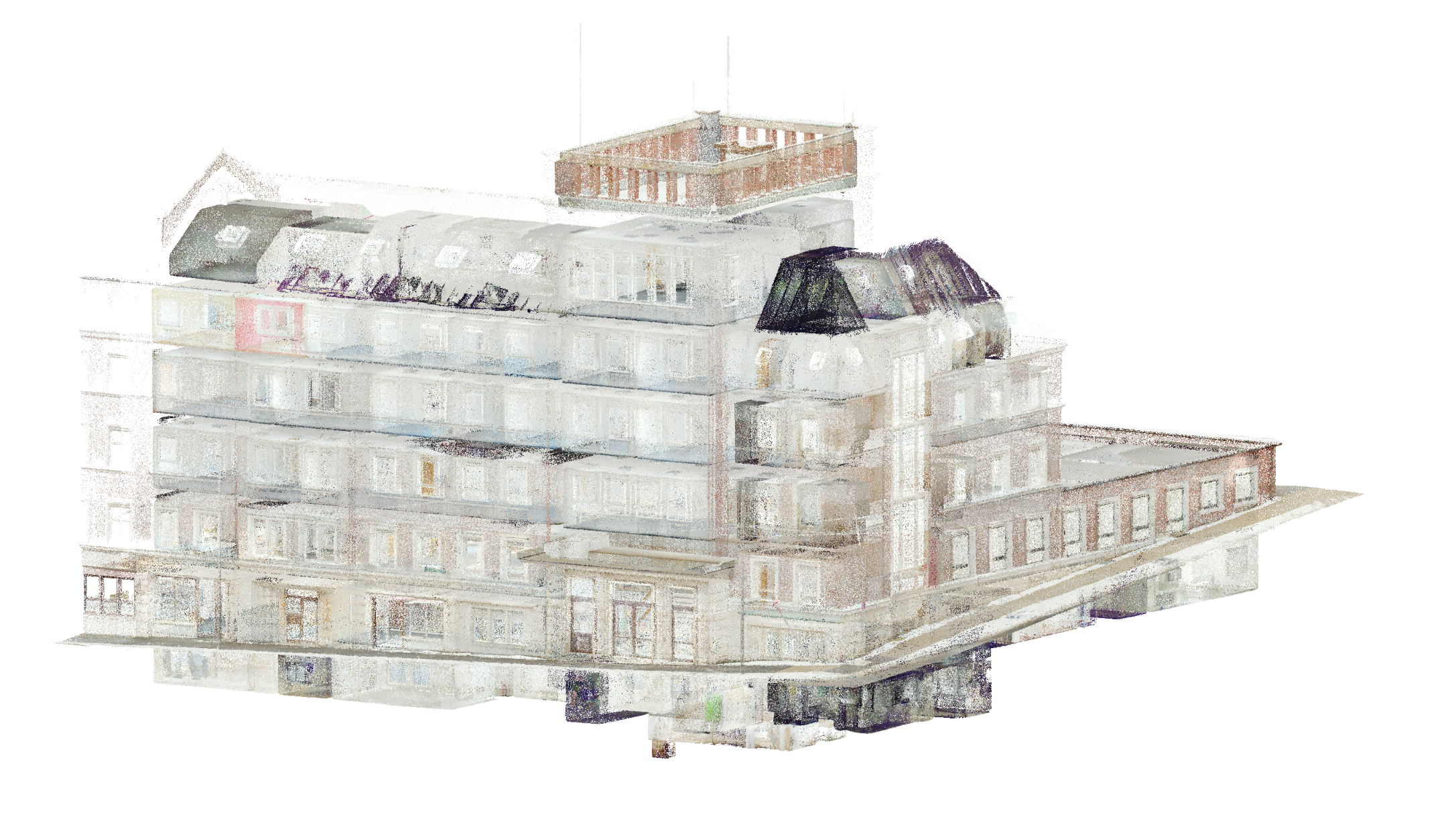
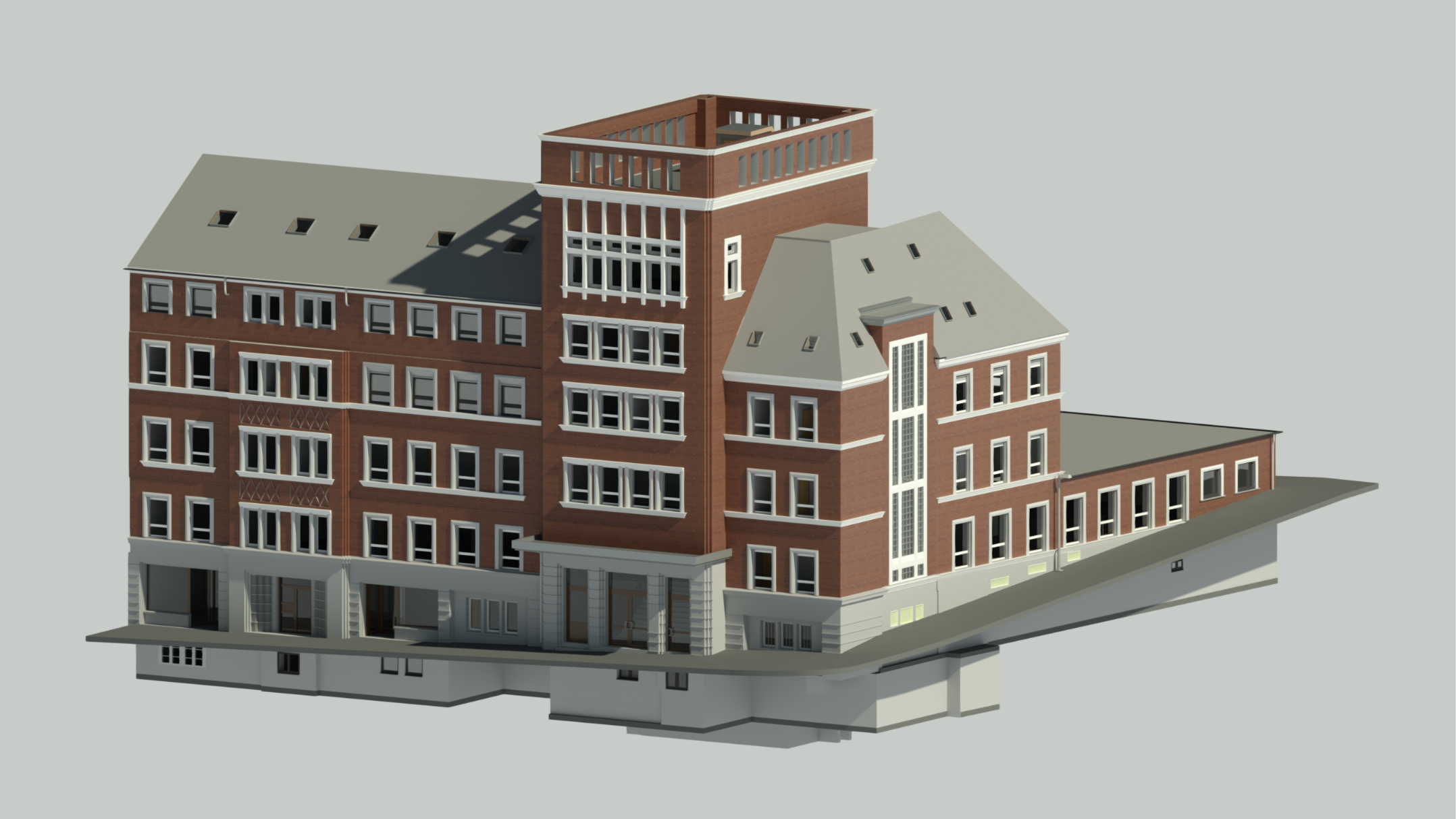
Point Cloud scan BIM model
3D Scan · BIM
3D Sken · BIM
3D-Scan · BIM

Heritage building

Zgrada kulturne baštine

Heritage building

Germany · 2025 · LOD 300

Njemačka · 2025 · LOD 300

Deutschland · 2025 · LOD 300
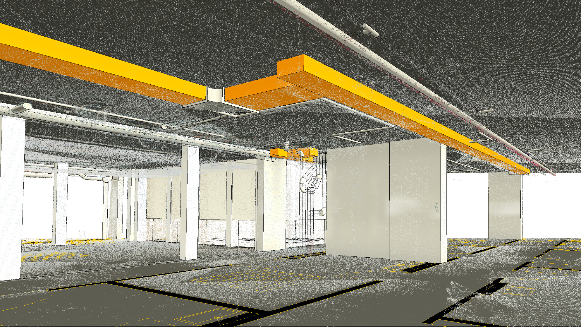
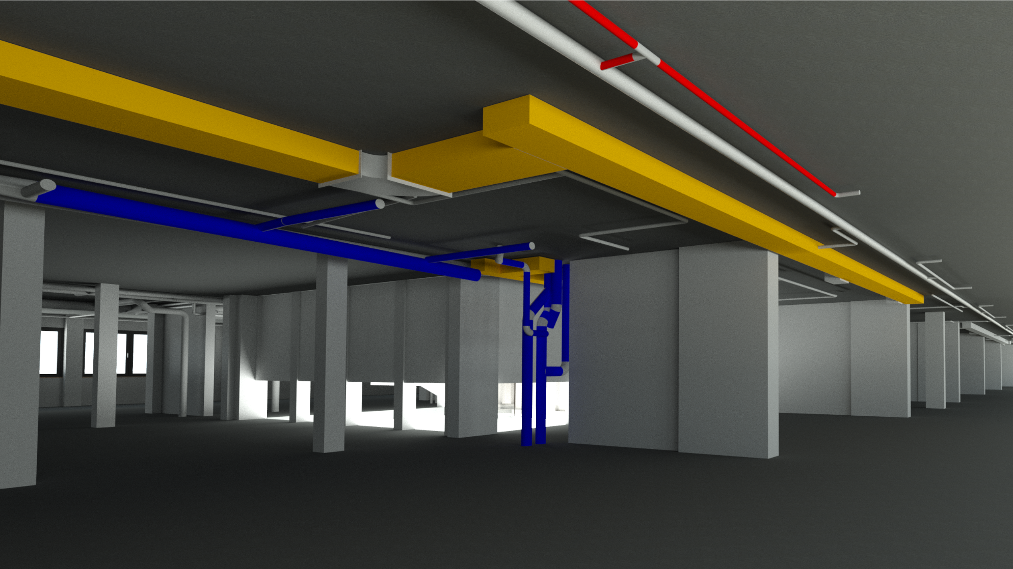
Point cloud interior scan BIM model interior
Point Cloud · BIM
Oblak Tačaka · BIM
Punktwolke · BIM

Interior MEP Survey

Snimanje Interijera MEP

Innenraum MEP-Vermessung

Germany · 2025 · LOD 300

Njemačka · 2025. · LOD 300

Deutschland · 2025 · LOD 300
UAV · Photogrammetry
UAV · Fotogrametrija
UAV · Photogrammetrie

Sports Hall

Sportska Dvorana

Sporthalle

BiH · 2024 · LOD 200

BiH · 2024. · LOD 200

BiH · 2024 · LOD 200

Professional-Grade Technology

Profesionalna Tehnologija

We work with industry-leading scanning hardware and BIM software to guarantee accuracy, interoperability, and compatibility with your project's tools.

Radimo s vodećim instrumentima za skeniranje i BIM softverom kako bismo garantovali preciznost, interoperabilnost i kompatibilnost s alatima vašeg projekta.

Trimble TX8 DJI Drone Autodesk Revit ArchiCAD Allplan Tekla Structures Trimble RealWorks Autodesk ReCap Agisoft Metashape IFC / E57
Max Range
Maks. Domet
Max. Reichweite
340m
Accuracy
Preciznost
Genauigkeit
±2mm
Scan Speed
Brzina Sken.
Scangeschwindigkeit
1M pts/s
Max BIM LOD
Maks. BIM LOD
Max. BIM LOD
LOD 400

Start Your Project

Pokrenite Vaš Projekt

Tell us about your building or site and we'll get back to you with a tailored proposal, typically within 24 hours.

Recite nam o vašem objektu ili terenu i odgovorit ćemo vam prilagođenom ponudom, obično u roku od 24 sata.

Phone Telefon Telefon +387 62 017 736
Email info@geobim5d.com
Office Ured Büro Zaima Imamovića, Goražde, BiH